
THANDIANI, GALIYAT, KPK
The hill station the crowds never found
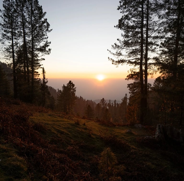
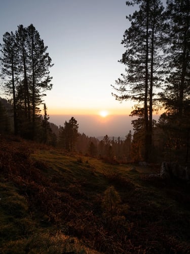
At 9,000 feet above sea level, Thandiani sits at the far end of the Galiyat mountains, higher than Nathia Gali, quieter than Murree, and thirty-seven kilometres of climbing road from Abbottabad. The name means "very cold" in the local tongue, and it earns it: even in June, the evenings ask for a shawl.
This is the guide to that place. How to get there and when to go. What to do once the road runs out. Which birds you're hearing in the pines, and why there's a colonial church on a ridge the British left a century ago. Where to sleep, what the weather is doing, and what the mountain looks like in every season. Thandiani rewards the traveller who arrives informed. Start here.
THANDIANI IN NUMBERS
What the mountain can prove
203
bird species in the surrounding forests
10°C
cooler than Islamabad, year-round
Year 1874
the year the British first made camp
9,020ft
peak altitude
1,644
plant species, of which 21 are medicinal
1,644mm
annual rainfall that keeps the forest alive
Recent dispatches from the ridge
Development
Logistics
History & Heritage
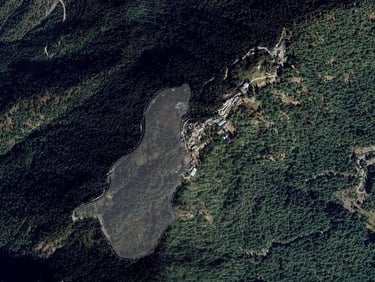
Above Zero Thandiani
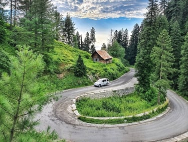
Thandiani road report, July 2026
Murree vs. Nathia Gali vs. Thandiani
A plain-language explainer of the Above Zero project at Thandiani, the GDA agreement, the 50-year concession, the timeline, and what visitors should know.
The current state of the Abbottabad–Thandiani road: upgrade progress, driving times, and what to expect this month.
Three hill stations, one ridge system, three completely different weekends. Here is the comparison nobody publishes.
Navigate the high ridge with confidence.
Access our curated directory of verified local lodges, detailed trail maps, and altitude-tested planning resources free from commercial listicle clutter.
Visit Thandiani
thandiani.pk is an independent guide to Thandiani and the eastern Galiyat, published as a hobby. We keep the information current; the mountain does the rest.
DIRECTORY
editor@thandiani.pk
© 2026 - Visit Thandiani
UPDATED REGULARLY